Chaos Crags             Crags Lake               Clycladenia

 
Home
Where to Stay List
Hike List
Hydrothermal Areas

Bookmark and Share


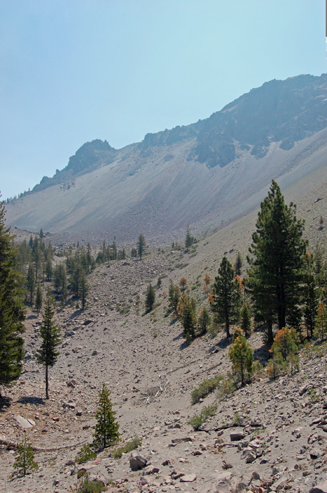
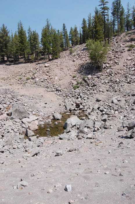
We hike the trails of Lassen National Park and Caribou Wilderness.  Our maps are free to you, the hiker.


member:

Sacramento Valley
Hiking Conference


Chaos Crater up-and-back

season:  July-Oct (snow Nov-June)

length:  4.2 miles

elevation gain:  1050'

elevation range:  5900-6800'

rules: Lassen National Park

trailhead map

hike map

How-to-print-maps


current weather forecast


A short, uphill hike to the base of prominent Chaos Crags.  There is usually a pond in a depression referred to as Crags Lake.

On warm summer days this hike will be best in the cool of the morning.

It is mostly forested, until it opens up near the top.  In early season, look for Cycladenia blooming in the volcanic ash fields.