A somewhat remote hike in Lassen National Forest.
Decades ago a 4WD route was bulldozed to Spencer Meadows,
but the land has more recently been managed as a roadless
area. The hike follows part of the old 4WD route.
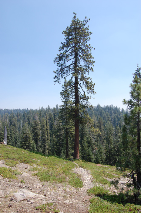
Route-finding is not
especially difficult for experienced hikers, but others
should bring GPS so you can retrace your steps in case you
lose the track. A section has not been maintained for
years and a couple stretches are essentially cross-country
through open forest.
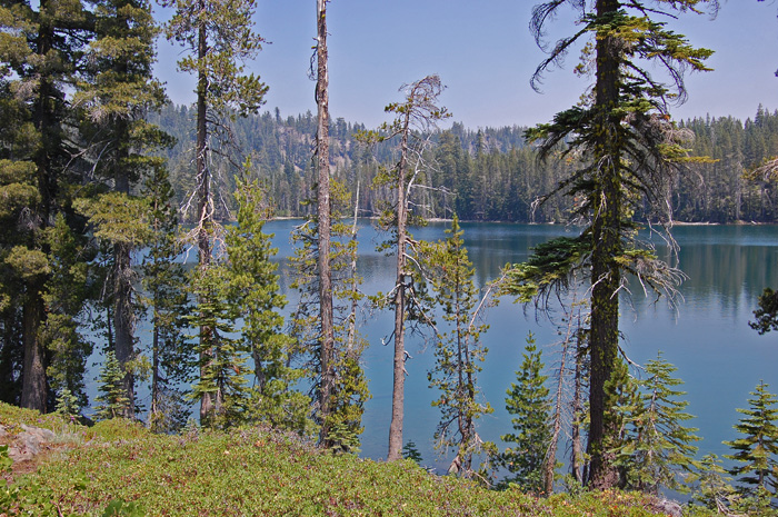
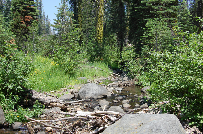
Scenic and varied country,
with two lakes, a large creek, a couple hot brushy areas,
dense and open forest, and a large marshy meadow. The
meadow has abundant wildflowers in July, especially in its
northern reaches.
There are pretty campsites at
Blue Lake and Spencer Meadows. |