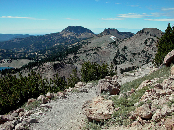
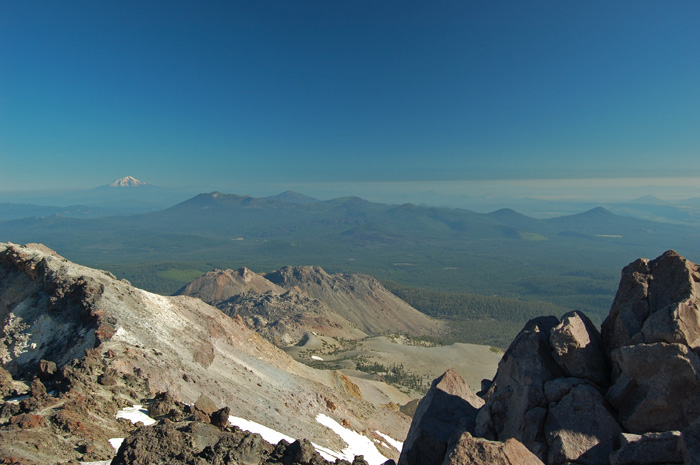
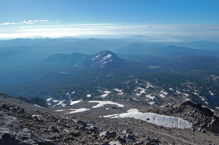
The peak.
Lassen Peak can be seen from
most of the other hikes. It is the third highest
mountain in Northern California, north of the Tahoe region.
The trail is moderately
steep, and may have dangerous snow patches. A hiker
was killed by falling rocks in 2009.
There is little shade or
shelter, and the elevation often causes altitude sickness
(solution: descend, descend). Sunglasses strongly
recommended, as well as sunscreen and/or long clothes for
light-skinned people. Check the weather forecast for
likelihood of thunderstorms.
That being said, Lassen Peak
is one of the least difficult major peaks. It is the
highest peak in the Cascade Range with a trail up it.
There are usually plenty of other hikers in case the need
for help should arise.
And the views are sublime.
|